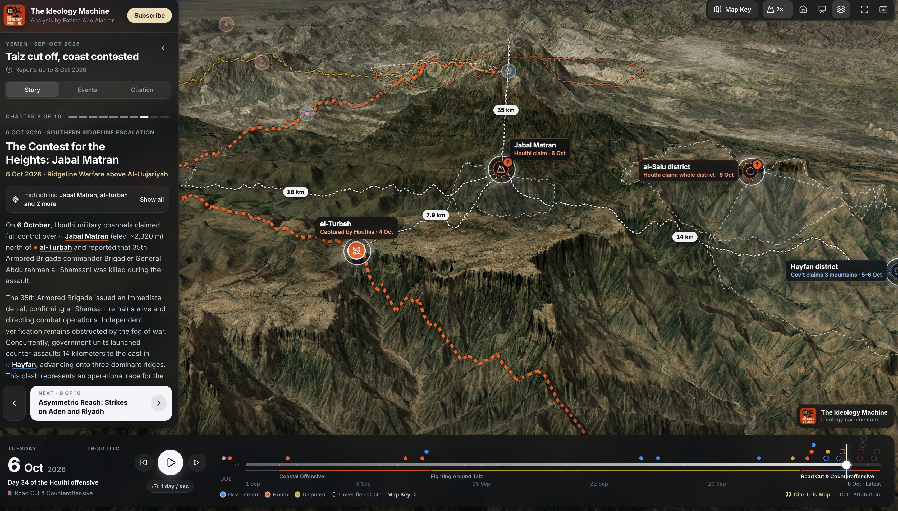
I created this interactive 3D geospatial app with my team (link to the app at the end of the post) to help track developments in Yemen, for both those following the conflict closely and those who do not want to follow the day-to-day news.
And because there is so much information, disinformation, and propaganda, I am using international wire services for my assessments as well as reporting from the ground, and citing all sources. I also use both Yemeni government and Houthi claims as they arise for tracking purposes, but the analysis layer is what you should be paying attention to.